Hillsdale..Hillsdale..Hillsdale!
Many Changes with the widening of 56th
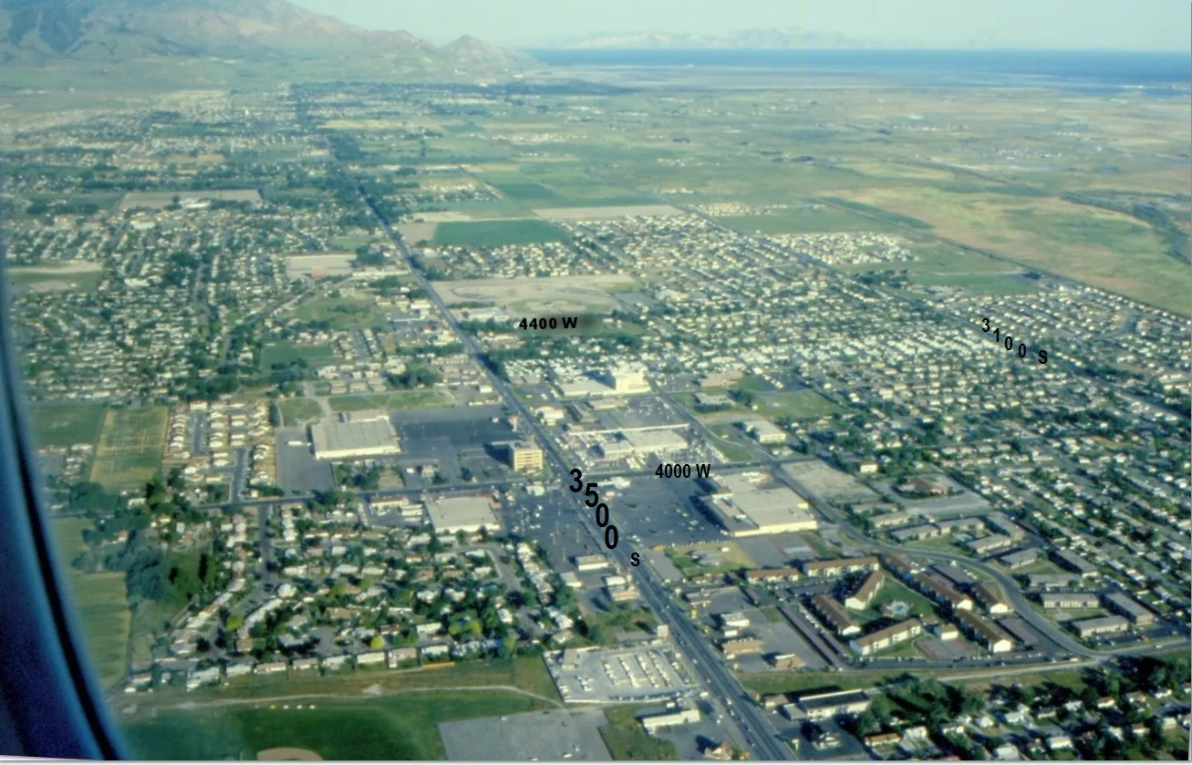
31st to 35th
From Farming & Fields to Shopping and Golfing
Hanging out
We grew…..
The T-Rail wasn’t there!
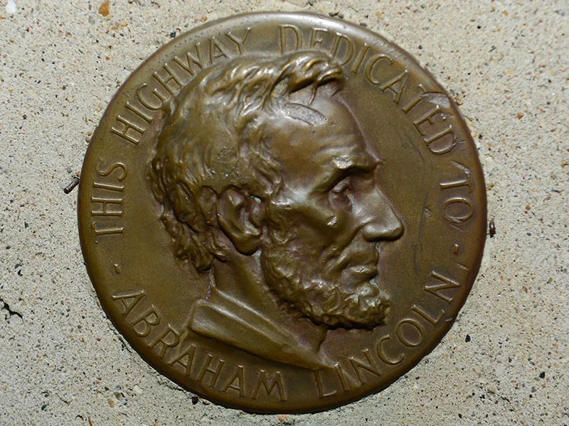
Granger/Hunter is part of the Lincoln Highway
Trails…
1846 Jordan River Crossing Marker
The History of the Belt Route
No Bangerter Highway yet
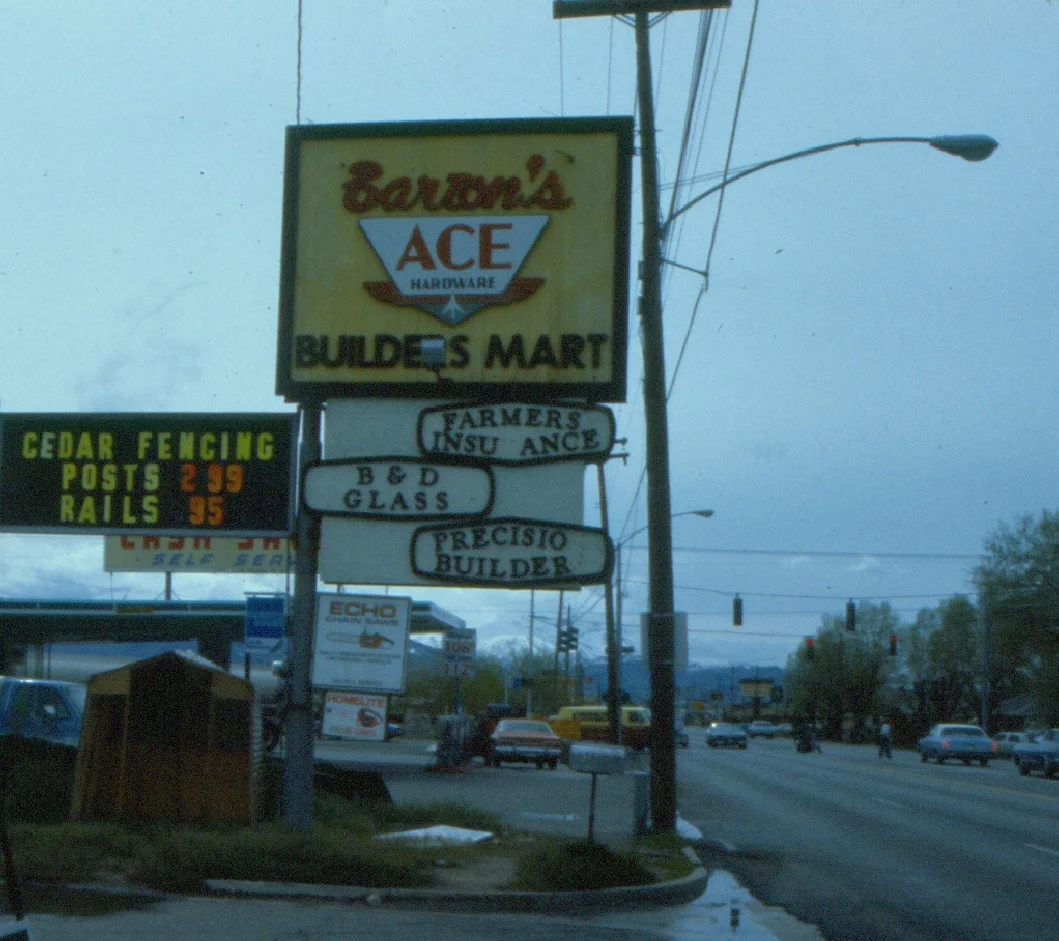
A vacant corner…now filled up.
1897 Map
This is a great Aerial Photo
A great picture of a great area
Hunter
It’s a great map!
60 year comparison
The difference 60 years makes
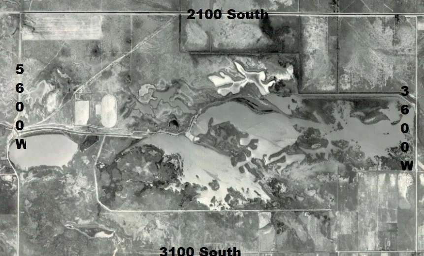
Decker Lake…is shrinking
It ended at 5600 West
The Candy Cane Striped Water Tower
A Wonderful Aerial Map
I often MISS the way things were....
Wow...look at all the changes
Drained a bit, Built a bit. . . .
They Drained....and Built!
Do you think it was taken in 1969 or Parcel/ Section 69?
Hillsdale..Hillsdale..Hillsdale!